Based on what National Flood Insurance has learned over the years, we know that floods can happen anywhere in the United States.
A question we commonly get asked is,
“Do I need flood insurance?” The simple answer is, Yes.
In fact, 25% of all flood insurance claims come from moderate- to low-risk areas. This means you don’t have to live in a high-risk zone to be affected.
Getting a flood insurance quote is easy and having flood insurance means you’re covered if groundwater rises and floods your home – something that isn’t usually covered by general homeowner insurance policies.
Find your region below to get more flood facts and to see what type of flooding your property is most prone. Let National Flood Insurance help keep you protected by providing an accurate flood insurance quote.
![]()
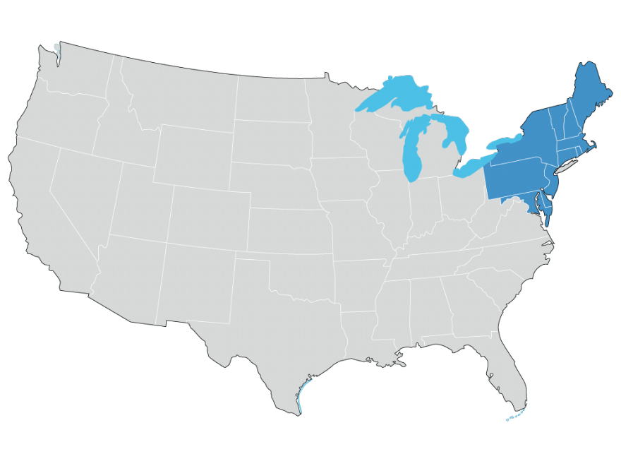
Northeast U.S.
![]()
Southeast U.S.
![]()
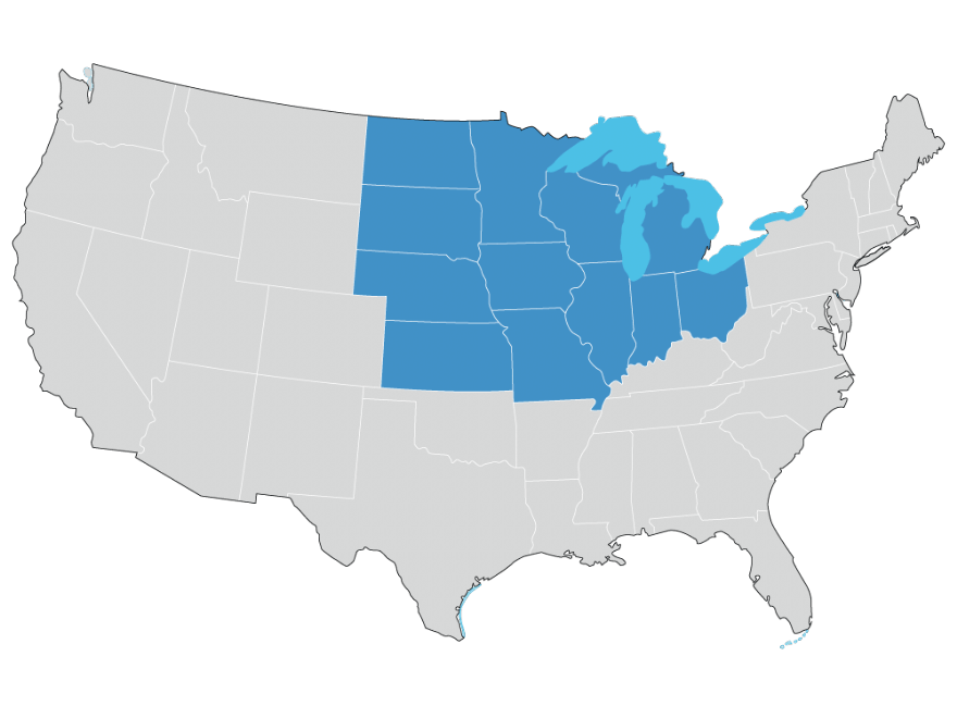
Midwest U.S.
![]()
Southwest U.S.
![]()
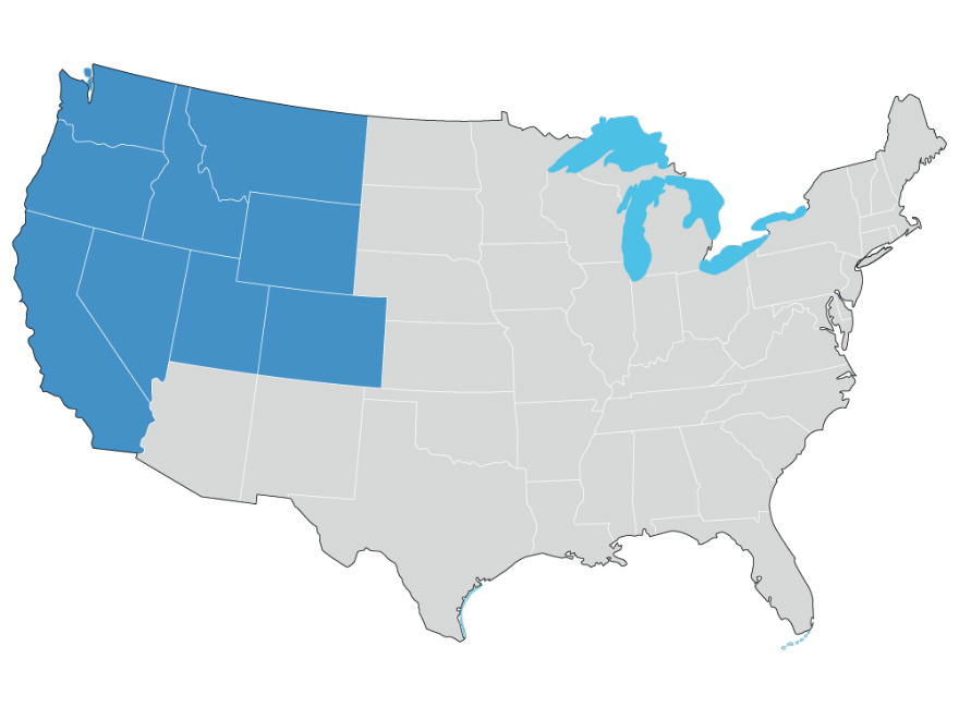
Western U.S.
General Facts About Flooding and Flood Insurance
Wherever it rains, a flood can happen and it’s not just surrounding water that makes certain states flood prone.
Flooding is a year-round, coast-to-coast threat to the United States as geography, seasonal weather, and human activity all play a key role. Flooding generally occurs when there is continuous rain over several days, when severe rain occurs over a short period of time, or when ice melt or a debris jam causes a river to overflow in its surrounding area.
Flooding isn’t, however, all natural.
Flooding can also result from the failure of manmade water control structures such as a levee or dam failure. However, the most common cause of flooding, especially in high-risk states such as Florida, Texas, Louisiana, North Carolina, and other coastal locations, is from rain and/or snowmelt that accumulates faster than grounds can absorb it or rivers can carry it away.
Consider these quick flood facts when deciding on a flood insurance policy:
- Flooding is the most common type of natural disaster worldwide – about 40% of all natural disasters involve flooding.
- 75% of all Presidential disaster declarations are associated with flooding.
- Homeowners and Commercial Property Insurance typically does not include flood related damage. This means you need a separate flood insurance quote and policy in addition to your homeowners or commercial insurance policy.
- It may take up to 30 days for your flood insurance policy to take effect.
- In a 30-year mortgage, a home has a 26% chance of being damaged by a flood compared to a 9% chance of fire.
- Only 12% of U.S. homeowners have flood insurance, according to a 2016 poll conducted by the Insurance Information Institute.
Northeast Flood Facts
Most Common Types: Snowmelt, River Overflow, Coastal Storms, Excessive Rain, and Dam/levee Failure
Though the Northeast is prone to coastal storms, majority of flooding comes from snowmelt and ice jams. Springtime in the Northeast brings sunshine, warmer weather, and longer days; it also brings heavy rains, severe weather, and rapid snowmelt, which can increase the risk of flooding. Consider this: each cubic foot of compacted snow contains gallons of water. This means if there is a rapid amount of snowmelt, there will be large amounts of runoff into lakes, streams, and rivers, causing excess water to spill over their banks. Add just a few seasonal storms on top of that, and the result severe flooding.
Snowmelt:
Characterized by water runoff produced from melting snow. Because the ground is hard and frozen, water cannot be reabsorbed, so in addition to flooding, rapid snowmelt can trigger landslides and debris flows.
- Although snow is a form of water, the pressure buildup of snow (snow pressure breaking through windows, roof damage, etc.) is not covered by a flood policy.
- Runoff from snowmelt is a major component of the global movement of water.
- 75% of water supplies in the western states are derived from snowmelt.
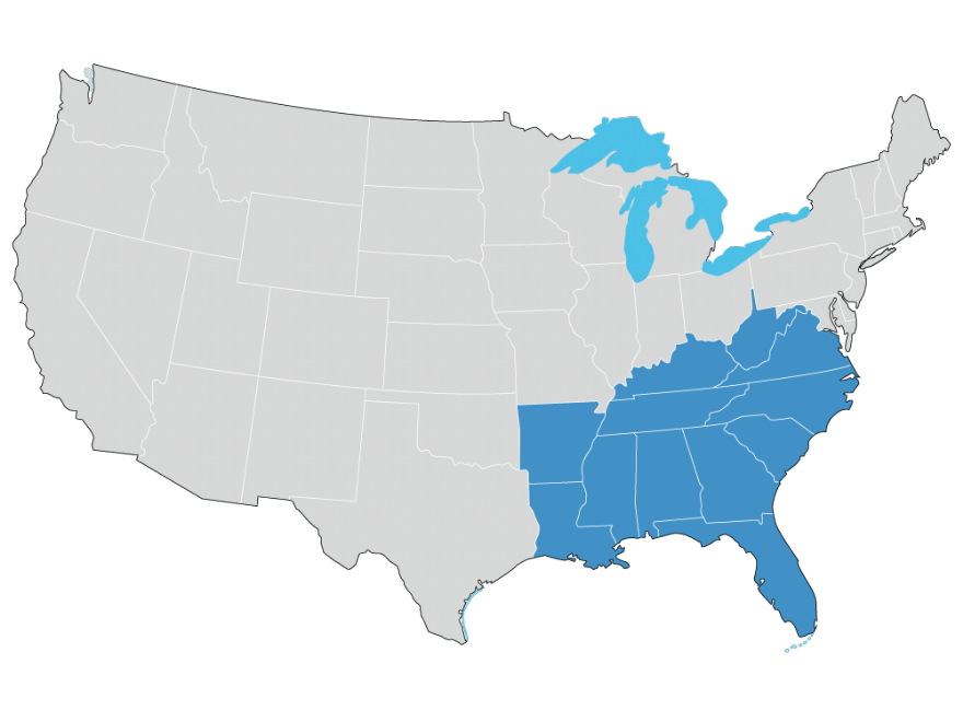
Southeast Flood Facts
Most Common Types: Coastal Storms, Excessive Rain, Dam/levee Failure
Coastal flooding generally occurs along the edges of oceans, and is caused primarily by storm surges and wave damage. In the Southeast, this kind of flooding is usually connected to hurricanes and tropical storms (typically during hurricane season) between June and November. As storms move inland from the ocean, they can (at times) carry domes of water in excess of 25 feet in diameter. When water this height reaches the shoreline, it can cause significant damage to beaches and structures, with destructive potential along the coast including erosion and flooding.
Notable storm surges include:
- New York City from Hurricane Sandy in October 2012 with a high tide of 14 feet and, one of the greatest recorded storm surges
- In 2005 Hurricane Katrina produced a maximum storm surge of more than 25 feet
- Waveland (41.5 feet)
- Bay St. Louis (38 feet)
- Diamondhead (30 feet)
- Pass Christian, Mississippi (35 feet)
Coastal Storms:
Characterized by a land-falling or near-land system such as a Tropical Storm or Hurricane. Along the Southeast coastline, storm surge is often the greatest threat to life and property.
- Since 1900, 36 named hurricanes (most category 4 or higher) have affected the Southeastern and Northeastern coastline.
- Hurricane Katrina, the most costly US hurricane to-date, caused severe destruction along the Gulf coast from central Florida to Texas, with majority of the damage coming from storm surge and levee failure in Mississippi and Louisiana.
- Over fifty breaches in Louisiana’s hurricane surge protection were the cause of the majority of the destruction during Katrina.
- 80% of the city and large tracts of neighboring communities became flooded with floodwaters lingering for weeks.
- Flooding in Florida is one of the state’s most frequent hazards – especially in cities like Miami and Tampa where there is relatively flat terrain with nowhere for accumulated water to drain.
Midwest Flood Facts
Most Common Types: River Overflow, Snowmelt, and Excessive Rain
A relatively higher number of flooding comes from the Northeast into the Midwest. In these northern regions, snowmelt combined with rainfall leads to excessive river overflow and flooding in spring. River flooding particularly occurs is counties near the Red River along the border between northwest Minnesota and eastern North Dakota. River flooding is typically classified as minor, moderate, or major based on 1.) water height and 2.) the impact along the river.
River Overflow:
Characterized by water within a river overflowing to its banks and spreading across the surrounding land. Extremely common in the Midwest, this type of flooding can take days to dissolve. In mountainous regions, where water flows together through steep valleys, floodwater tends to move faster and remain for a shorter period of time.
- River overflow is the most common type of flood in the U.S.
- Flooding in large rivers usually results from large-scale weather systems generating prolonged rainfall over wide areas.
- In parts of the northern and western United States, annual spring floods result from spring snowmelt.
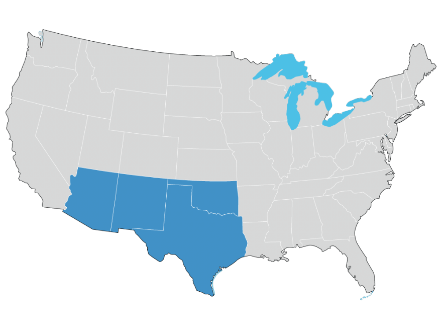
Southwest Flood Facts
Most Common Types: Excessive Rain, Snowmelt, and River Overflow
The desert Southwest, despite its dry reputation, is still extremely susceptible to floods. Part of the reason is due to the larger counties and therefore, a greater geographic footprint.
The Southwest is susceptible to year-round coastal and regional storms including winter frontal storms between late November and mid-March and severe thunderstorms and/or dissolving tropical storms from the Pacific Ocean and Gulf of Mexico between late summer and early fall. These types of storms can easily result in city, farm, and desert flooding due to poor drainage (the ground being hard and dry with water having nowhere to go) or river overflow.
In the Southwest, Texas is particularly vulnerable to harsh weather and severe flooding, even hundreds of miles inland. In fact, Texas leads the nation (over Florida and Louisiana) in flood-related damages most every year.
Excessive Rain:
Characterized by heavy amounts of rain that once reaches the earth surface cannot evaporate or enter the earth’s soil resulting in run over.
- In 2015, Texas experienced over 30 trillion gallons of rainfall. This is enough water to cover the entire state of Texas with eight inches of rain or cover the entire island of Manhattan almost four times.
- About 20 million of Texas’ 171 million acres are flood-prone, but only about 9% of the state’s households are covered with flood insurance.
Western Flood Facts
Most Common Types: Flash Floods, Excessive Rain, Coastal Storms, and Dam/levee Failure
Though the climate of the West is generally described as semi-dry, parts of the West get extremely high amounts of rain and/or snow. In addition, the climate of the West can be very unpredictable, as areas that are normally wet can be extremely dry for months or years and vice versa. As a result, flash floods from thunderstorms with the excess rainfall causing rivers, creeks or dry streams to quickly fill and produce high water are a major concern. The main causes of flash flooding include heavy rain, ice/snow melt or debris jams, and levee or dam failure. Urban areas are especially prone to flash floods due to the large amounts of concrete and asphalt surfaces, which do not allow water to absorb into the ground easily.
Flash Floods:
Characterized by a rapid rise of fast-moving water and one of the most common types of flooding in the Western and Southwest regions where low lying areas might be very dry one minute, and filled with rushing water the next.
- Water moving at 10 miles an hour can exert the same pressures as wind gusts of 270 mph according to a 2005 article in USA Today.
- Water moving at 9 feet per second, a common speed for flash floods, can move rocks weighing almost a hundred pounds.
- FEMA says that all 50 states have experienced floods or flash floods in the past five years, and that more than 20% of the claims it handles come from the moderate- to low-risk regions.
Get the nationwide flood insurance coverage you need to be protected when the flood comes.

